Landscape Insights
Turning Science into Insight, Learning, and Action
Landscape Insights helps organizations work at the intersection of ecological science, strategy, and learning.
I bring more than 25 years of experience in environmental research, GIS and spatial analysis, program evaluation, group facilitation, science communication, teacher professional development, and place-based education.
My work helps nonprofits, agencies, schools, and community-based organizations make sense of complex systems, communicate clearly, and move from information to action.
Core Services
Landscape Insights offers consulting services that help organizations understand complex systems and data, strengthen programs, communicate clearly, and make informed decisions.
Science & Analysis
I support organizations that need rigorous, applied understanding of ecological systems, natural disturbance, human management, or environmental change.
Ecological research design
Research synthesis and literature reviews
Data analysis, display, and interpretation
Natural resource management support
Environmental analysis
Science communication
Mapping and Geographic Insight
I create maps and spatial analyses that help clients see patterns, communicate clearly, and support decision-making at multiple scales.
Spatial data visualization and mapping
GIS analysis and modeling
Habitat and conservation mapping
Wildfire simulation and fuels mapping
Decision-support tools for geographic data
Facilitation, Learning Design, and Program Evaluation
I help organizations assess impact, improve programs and teaching, make better use of data, build shared understanding, and move toward action.
Group facilitation
Program evaluation (quantitative and qualitative)
Teacher professional development
Science communication
Inquiry and place-based learning design
Presentations, workshops, and training
Why work with me
I bring a rare combination of scientific depth, systems thinking, and the ability to communicate complex ideas clearly and meaningfully.
My background spans wildfire ecology, conservation strategy, GIS and spatial analysis, research leadership, science education, and collaborative planning. Across this work, I help organizations not only understand complex environmental systems, but also translate that understanding into informed decisions and effective action.
I have led applied research, developed public-facing reports and maps, facilitated stakeholder processes, and designed learning experiences that build shared understanding. Central to my work is helping people connect more deeply to the landscapes they live in and care about—bridging science, place, and experience in ways that strengthen both outcomes and relationships to the natural world.
Clients value my ability to integrate science, data, and human experience—bringing clarity to complexity and helping groups move forward with insight and purpose.
Past Projects
Examples of work that bring together ecological science, spatial analysis, communication, and learning to support better decisions and deeper connections to the natural world.
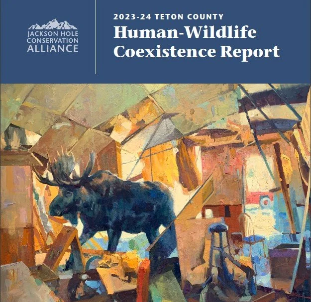
Context
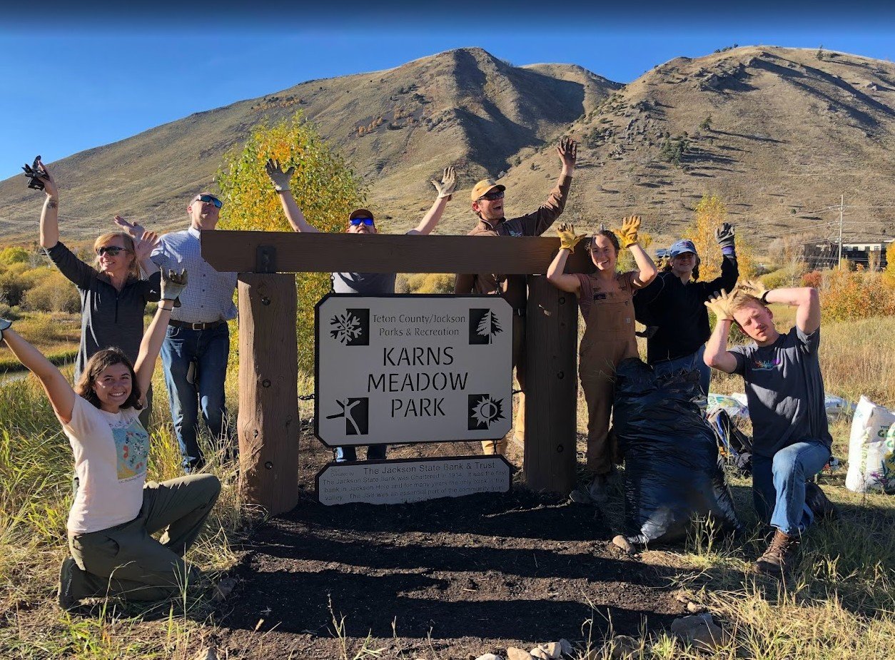
Jackson Hole Conservation Alliance, Teton County, Wyoming
Challenge
Local decision-making around development, conservation, and wildlife permeability required clearer, shared understanding of complex ecological and social dynamics.
Approach
I helped develop public-facing reports that integrated ecological data, spatial analysis, and social indicators into a clear and accessible framework. This included mapping, data synthesis, and translating science into visuals and narratives that could be used by policymakers, stakeholders, and the broader community.
Outcome
The work supported more informed public dialogue and decision-making, helping stakeholders better understand tradeoffs and opportunities for coexistence. It also strengthened the organization’s ability to communicate complex issues clearly and credibly.
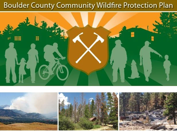
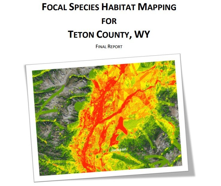
Context
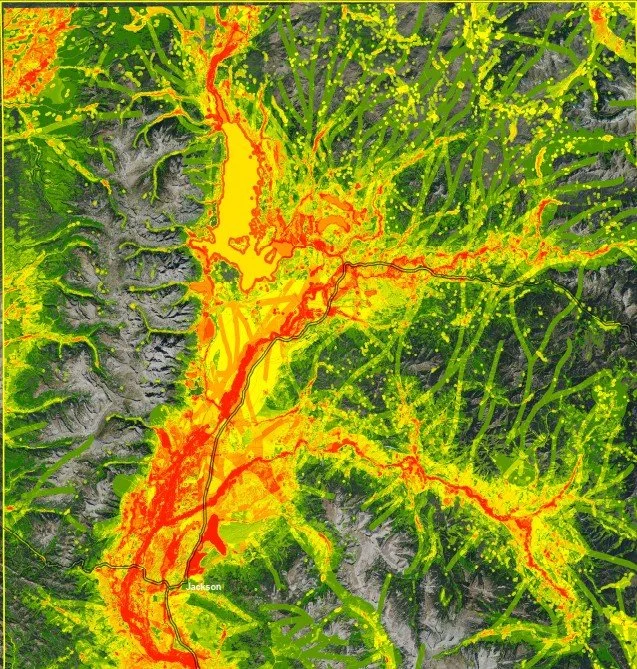
GIS and spatial analysis supporting wildfire planning and habitat conservation in Colorado and Wyoming
Challenge
Land managers and conservation organizations needed clearer tools to understand wildfire risk and wildlife habitat across complex landscapes.
Approach
I applied GIS and spatial analysis across multiple projects, including:
Wildfire Risk Mapping— Developed forest fuels maps and landscape-scale risk analyses to support community wildfire protection planning.
Focal Species Habitat Mapping— Mapped key wildlife habitats to inform land-use planning and conservation priorities.
Outcome
These mapping products translated complex ecological data into clear visual tools that supported planning, policy discussions, and public communication—helping stakeholders better understand landscape patterns and make more informed decisions.
Capabilities: GIS analysis, spatial modeling, ecological data integration, science communication
Context
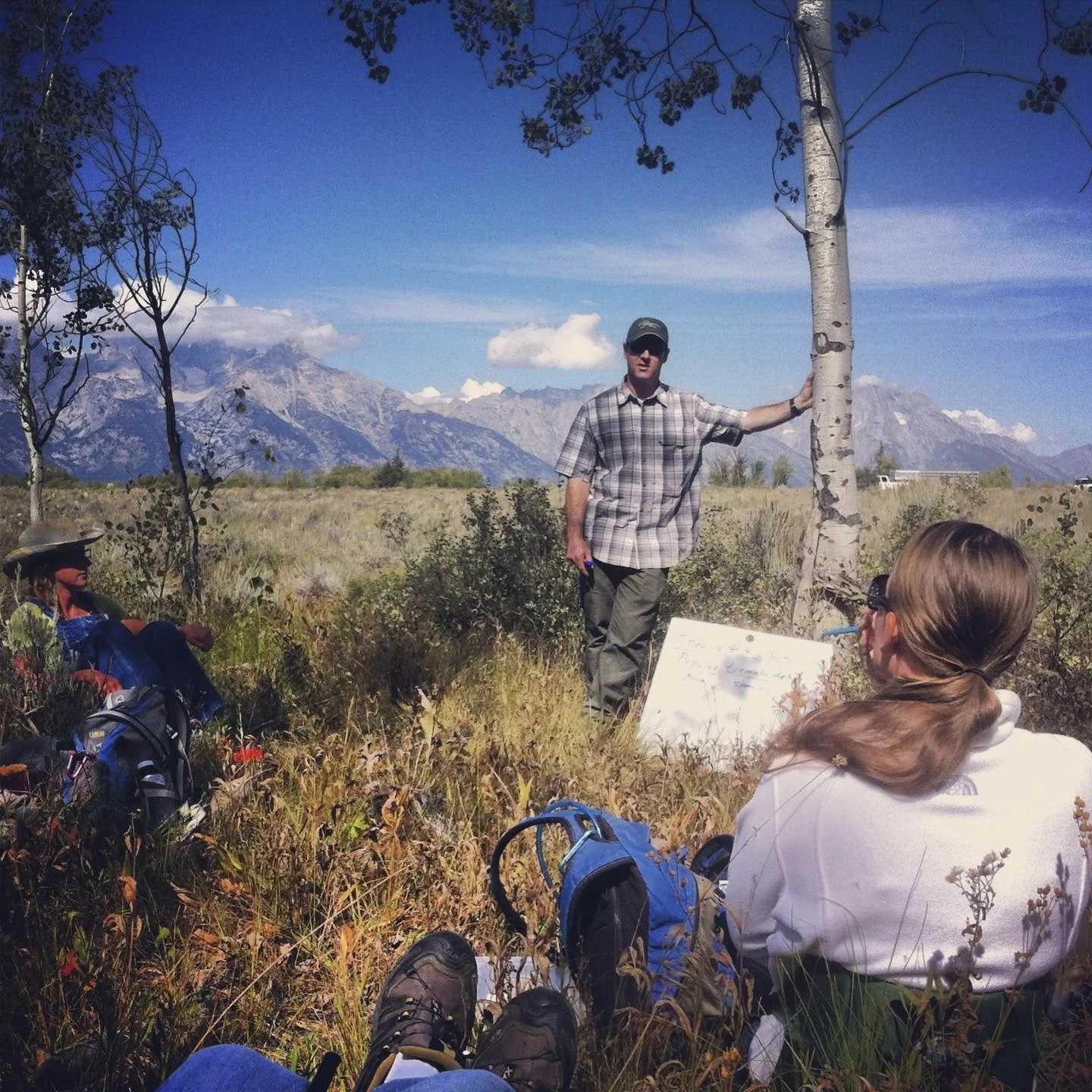
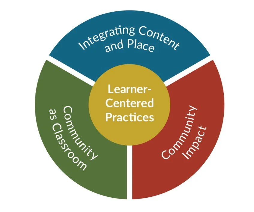
Teton Science Schools and the Place Network (A national network of schools adopting a common learning model centered on place-based learning).
Challenge
Our programs serving thousands of students and educators needed common and valid ways to assess impact and improve outcomes for academic content mastery, social emotional learning, and school climate and culture metrics.
Approach
I designed and implemented evaluation frameworks, led data collection, analysis and communication, and supported research on inquiry-driven and place-based learning. This included both qualitative and quantitative metrics annually for 2017-2022 (with the exception of 2020-21 school year for many schools due to the COVID pandemic).
Outcome
The work strengthened program quality, supported continuous improvement, and provided funders and partners with clearer evidence of impact, especially during and after the pandemic. Our collections and use of this data deepened our understanding of how connecting learning to place enhances outcomes for learners.
Facilitation and Collaborative Conservation Strategy
Context
Regional conservation initiatives and multi-stakeholder collaboratives in northwest Wyoming and Teton County
Challenge
Complex environmental challenges required coordination across agencies, nonprofits, scientists, and community stakeholders with differing priorities and perspectives.
Approach
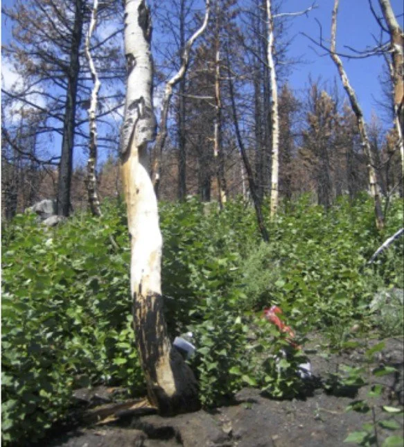
I founded and facilitated the Northwest Wyoming Aspen Working Group, bringing together land managers, scientists, fire professionals, and conservation partners to coordinate research, share data, and improve management of aspen ecosystems across jurisdictions.
I also played a leadership role in the Systems of Conservation (SysCon) collaborative in Teton County, helping guide strategy, facilitate meetings, and align diverse organizations around shared conservation priorities.
Across these efforts, I designed and led collaborative processes, facilitated discussions, and synthesized input into clear frameworks and next steps.
Outcome
These initiatives strengthened coordination, improved information sharing, and supported more aligned, landscape-scale conservation strategies. They also helped build shared understanding and trust among partners, enabling more effective and sustained collective action.
Contact Me
Interested in working together? Fill out some info below and I will be in touch shortly.